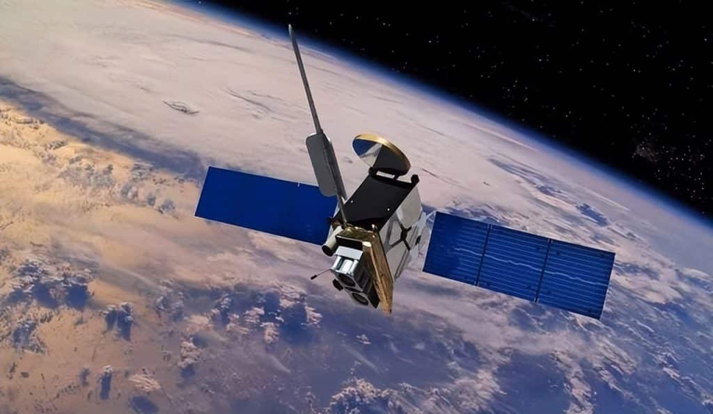
Satellite navigation systems have become an indispensable part of modern life. From driving directions to smartphone location services, from aviation route planning to military operations, they are everywhere. Among them, the U.S. GPS system and China’s BeiDou system are the two most prominent.
But here’s a question many people ask: Why can GPS cover the entire globe with just 24 satellites, while BeiDou requires 39? The answer lies in very different design philosophies and strategic considerations.
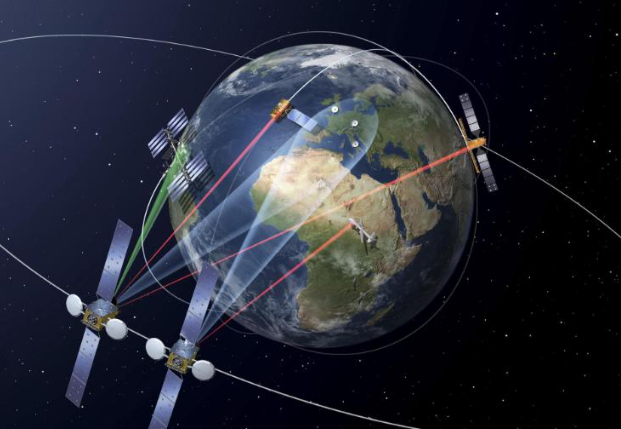
How Do Satellite Navigation Systems Work?
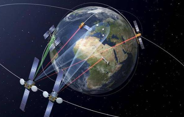
A navigation system relies on a constellation of satellites orbiting Earth, constantly broadcasting signals with two key pieces of information: their location and precise time.
A receiver (like your phone) calculates how long the signal took to travel, then determines its distance from each satellite. With distances from at least four satellites, the receiver solves equations to determine latitude, longitude, altitude, and time—this is called trilateration.
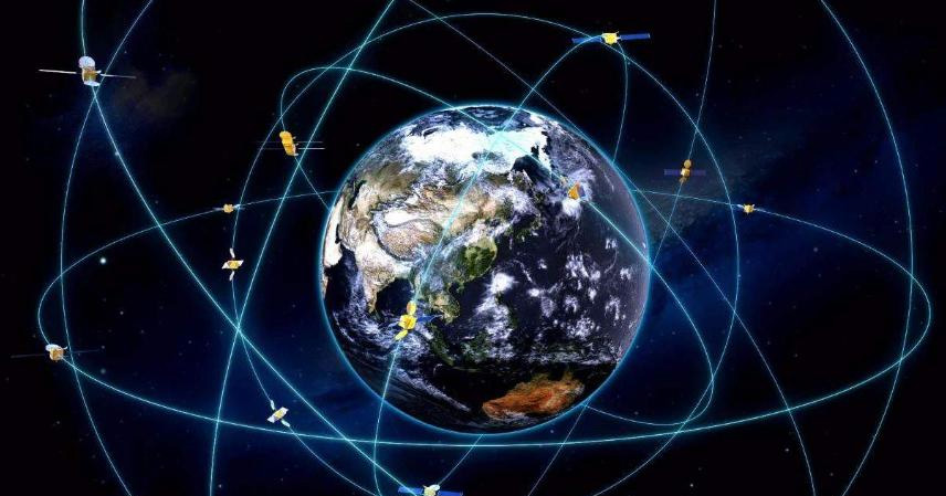
To make this work worldwide, satellites must be placed in optimal orbits to ensure that no matter where you stand, you can “see” enough satellites. The main orbits used are:
- MEO (Medium Earth Orbit)
- GEO (Geostationary Orbit)
- IGSO (Inclined Geosynchronous Orbit)
Each has unique strengths for coverage and signal reliability.
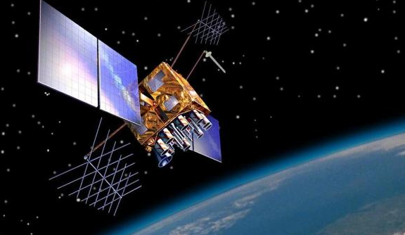
U.S. GPS: 24 Satellites, Precision Optimization
The Global Positioning System (GPS) was the first fully operational global navigation system. Developed in the 1970s and fully deployed by 1995, it was designed for maximum efficiency.
GPS uses 24 MEO satellites at about 20,200 km altitude, divided into 6 orbital planes with 4 satellites each, inclined at 55°.
This layout was mathematically optimized: anywhere on Earth, a receiver can “see” at least 4 satellites, often 6–8 simultaneously. That’s enough for accurate positioning without wasting satellites.
Although GPS now operates with about 30 satellites including backups, the system was designed to work with just 24. Its advantages:
- Simplicity and cost-effectiveness
- Stable global coverage
- Proven reliability
No wonder GPS became the global standard.
China’s BeiDou: 39 Satellites for Global + Regional Strength
China’s BeiDou Navigation Satellite System (BDS) began in 2000 as a regional system, later upgraded to global coverage (BeiDou-3) in 2020.
BeiDou uses a hybrid constellation:
- 24 MEO satellites for worldwide coverage (similar to GPS)
- 3 GEO satellites fixed at 35,786 km above the equator, ensuring constant coverage of China and Asia-Pacific
- 3 IGSO satellites in inclined “figure-8” orbits, enhancing coverage for higher latitudes
- 9 backup satellites for redundancy
This adds up to 39 satellites in total, more than GPS, but with stronger performance in China’s home region.
Why Does BeiDou Need More Satellites?
The reasons are strategic and technical, not a lack of capability.
- Regional Priority
BeiDou was built with “home first” coverage in Asia-Pacific, unlike GPS’s global balance. GEO and IGSO satellites ensure stronger signals in urban canyons, mountains, and high latitudes. - Unique Short Messaging Service
Unlike GPS, BeiDou supports short text communication via satellites, crucial for emergency rescue and remote operations. This requires extra GEO satellites to relay messages. - Late Start, Different Orbits
By the time BeiDou was built, prime orbital slots were taken by GPS and Russia’s GLONASS. China chose GEO and IGSO orbits, which require more satellites but offer regional advantages. - Higher Redundancy
BeiDou’s design includes more backup satellites than GPS, reflecting its focus on reliability and security, especially for military applications.

GPS vs. BeiDou: Performance Comparison
- Accuracy (civilian use): Both systems achieve 5–10 meter precision globally.
- Military precision: Classified, but BeiDou is thought to have an edge in Asia-Pacific due to GEO/IGSO.
- Coverage:
- GPS: Global balance with fewer satellites
- BeiDou: Global coverage plus stronger signals in Asia-Pacific
- Features: BeiDou offers short message communication, GPS does not.
- Cost: GPS’s 24-satellite system is cheaper to maintain; BeiDou’s 39-satellite constellation is more expensive but provides extra resilience and functionality.
Strategic Context
- GPS was born in the Cold War, aimed at global military dominance and economic influence.
- BeiDou was built later with goals of national security, regional strength, and independence.
China wanted to avoid reliance on GPS, which the U.S. can restrict or shut down in wartime. BeiDou ensures sovereign control of navigation signals, a crucial factor for military and geopolitical security.
The Future of Satellite Navigation
Both systems are evolving:
- GPS Block III satellites improve accuracy and anti-jamming capabilities.
- BeiDou is planning to integrate LEO (Low Earth Orbit) satellites, offering faster signals and even higher precision.
With new technologies like RTK (Real-Time Kinematics), centimeter-level positioning will become mainstream, enabling autonomous driving, smart cities, and precision agriculture.
Meanwhile, modern receivers increasingly support multi-system compatibility (GPS + BeiDou + GLONASS + Galileo), making navigation more accurate and reliable than ever.