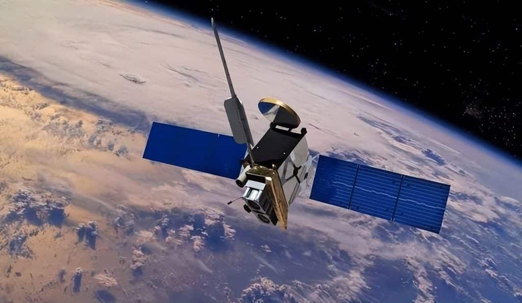
Satellite navigation systems have transformed how we navigate, from military operations to everyday smartphone apps. In 2025, the U.S. GPS, Russia’s GLONASS, and China’s BeiDou dominate the Global Navigation Satellite System (GNSS) landscape, each with unique strengths and challenges. But how do their accuracies stack up? With GPS boasting military precision of 0.1 meters, GLONASS at 1.5 meters, and BeiDou catching up fast, let’s break down the race for navigation supremacy and what it means for users worldwide.
U.S. GPS: The Gold Standard
Launched in 1978 and achieving global coverage by 1994, the U.S. Global Positioning System (GPS) remains the benchmark for satellite navigation. Its military-grade dual-frequency signals correct atmospheric interference, achieving an astonishing 0.1-meter precision—sometimes even centimeter-level in optimal conditions. For civilian use, GPS delivers 4.9-meter accuracy, with augmented systems reaching centimeter precision for high-end applications like surveying.
GPS’s success stems from early investment, a uniform satellite orbit design, and a robust network of 31 active satellites. The ongoing GPS III program, rolling out in 2025, introduces more precise atomic clocks and enhanced anti-jamming capabilities, ensuring reliability in complex environments like urban canyons or battlefields. For example, during Gulf War operations, GPS enabled pinpoint strikes, setting a standard for military efficiency. Today, it powers everything from logistics to precision agriculture, covering 8 million square kilometers globally.
Russia’s GLONASS: Strong in the North
Russia’s GLONASS, operational globally since 1995, inherited Soviet technology but faced challenges post-dissolution. With 24 satellites in orbit, it offers standard accuracy of 1.5–2 meters, with military applications reaching 0.1 meters. Its strength lies in high-latitude regions like Siberia or the Arctic, thanks to a larger orbital inclination that ensures strong signals in northern areas.
The GLONASS-K2 satellites, deployed in 2025, aim to boost accuracy to 0.3 meters with improved signal compatibility. However, shorter satellite lifespans (3–4 years) and maintenance costs have historically strained the system. In urban or forested areas, signal reliability can falter, but GLONASS shines in Russian military operations, like those in Syria, and supports civilian navigation, often paired with GPS to mitigate weaknesses.
China’s BeiDou: The Rising Star
China’s BeiDou Navigation Satellite System, starting with BeiDou-1 in 2000, initially lagged with 20-meter accuracy and Asia-Pacific coverage. By 2012, BeiDou-2 improved to 10 meters, and the global BeiDou-3 constellation, completed in 2020 with 35 satellites, achieves 2–3 meters globally and centimeter-to-millimeter precision for military and post-processed applications. In 2025, BeiDou’s signal-in-space ranging error (SISRE) is 0.5 meters globally, with 0.3-meter horizontal accuracy in the Asia-Pacific.
BeiDou’s unique two-way communication feature allows short distress messages, a capability absent in GPS. This has proven invaluable for South China Sea fishermen avoiding reefs and for automated farming in China’s plains, boosting crop yields. With over 1.5 billion users and partnerships across Africa and Southeast Asia, BeiDou is challenging GPS’s dominance. However, its late start and past technological barriers mean it’s still proving itself in high-precision applications.
Comparing the Systems: Where’s the Gap?
- Accuracy: GPS leads with 0.1-meter military precision and a global average user range error of 0.643 meters, outperforming GLONASS’s 1.5 meters and BeiDou’s 0.5 meters. GLONASS excels in high latitudes, while BeiDou shines in the Asia-Pacific.
- Coverage and Reliability: GPS’s 31 satellites and mature infrastructure ensure unmatched global reliability. GLONASS’s 24 satellites struggle with maintenance, while BeiDou’s 35 satellites, including geostationary orbits, enhance Asian coverage but require further global validation.
- Innovation: BeiDou’s two-way messaging and rapid iteration give it an edge in specific applications. GLONASS-K2 improves compatibility, but GPS III’s anti-jamming tech keeps it ahead in resilience.
The gap stems from historical investment. The U.S. benefited from decades of GPS development, while Russia’s post-Soviet funding issues slowed GLONASS. China, starting from scratch under technological sanctions, has made remarkable strides but lacks the long-term refinement of GPS.
Real-World Impact and Future Outlook
These systems aren’t just about technical specs—they improve lives. GPS guides drivers globally, GLONASS keeps Russian trucks on track in snowy Siberia, and BeiDou helps Chinese farmers sow efficiently. Combining multiple GNSS systems enhances accuracy and reliability, especially in challenging environments like urban canyons, where GPS might weaken, and GLONASS or BeiDou can step in.
Looking to 2035, China aims for millimeter-level BeiDou precision, Russia plans centimeter-level GLONASS-KM upgrades, and GPS IIIF will bolster anti-jamming capabilities. International cooperation, like Russia-China data sharing, could further close the gap, benefiting users worldwide.
The GNSS market is booming, with BeiDou gaining ground in Africa and Southeast Asia. As these systems evolve, they’ll ensure fishermen don’t get lost, drivers avoid detours, and industries thrive with precise navigation.


